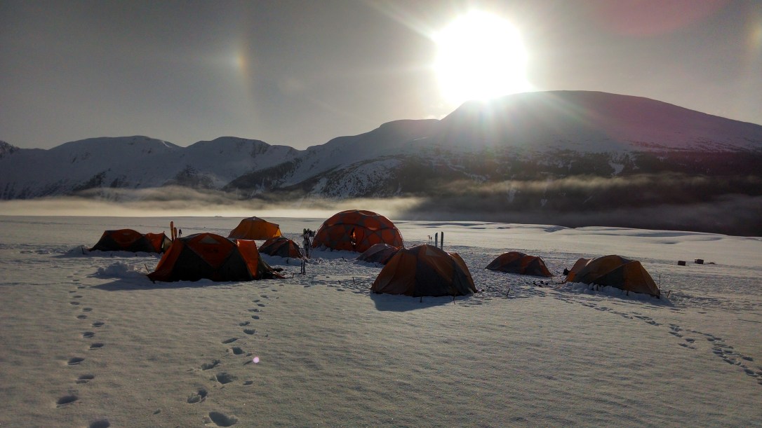
At the bottom of this page you’ll find links to my main research interests. In several cases, there also exist links to publications. Also included here are links to a few blog posts about field projects that I’ve taken part in in Greenland, Southeast Alaska, and Antarctica.
Research

Tidewater glacier cycle
The tidewater glacier cycle is the idea that a glacier can facilitate its own advance by building a submarine shoal at its terminus, providing a buttress against calving and melting by warm ocean water. This advance is currently occurring in several places in Alaska, but one of the most dramatic examples is at Taku Glacier,…

Ice stream initiation and chaos
Antarctica’s Siple Coast doesn’t look like much except a vast expanse of snow: But, if viewed using an Interferometric Synthetic Aperture Radar, a different image emerges: Indeed, rivers of fast flowing ice drain much of West Antarctica. However, unlike a river, there is no obvious topography that controls their location or extent. Furthermore, these so-called ice…

Bayesian inference of subglacial hydrology
Here I argued that bed geometry is the most important thing we need to know for glacier modelling, but a close second is certainly how the glacier slides over its bed (or perhaps if the bed itself is oozing downhill). A key component in answering that question is knowing what the water pressure is down there.…

Bayesian inference of subglacial topography
Perhaps the most important component of a glacier model is the geometry of the bed. Unfortunately, it’s also extraordinarily difficult to measure, especially over large areas, like Greenland or the Bagley Icefield. Measurements are usually done with low-frequency radar, either from an airplane, or by walking around stringing out long pieces of wire like this…

Optical flow tracking for oblique time-lapse photography
This one’s a new one for me. Basically, the idea is to take the massive archive of oblique time-lapse imagery that the USGS has collected at Columbia Glacier, apply image processing techniques to derive velocity fields, correct these velocity fields using satellite-derived digital elevation models, and then feed the result into a model using inverse…
Read more Optical flow tracking for oblique time-lapse photography