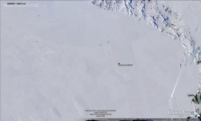
Antarctica’s Siple Coast doesn’t look like much except a vast expanse of snow:
But, if viewed using an Interferometric Synthetic Aperture Radar, a different image emerges:
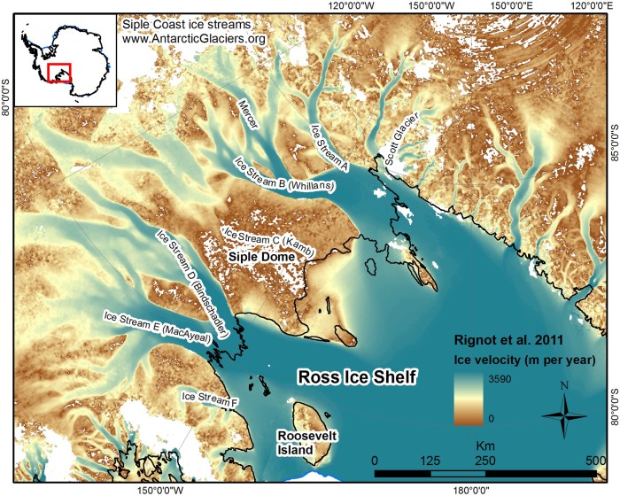
Indeed, rivers of fast flowing ice drain much of West Antarctica. However, unlike a river, there is no obvious topography that controls their location or extent. Furthermore, these so-called ice streams seem to turn on and off over the centuries.
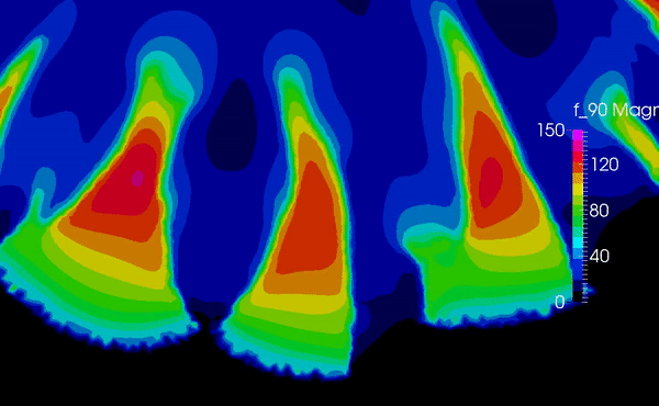
I’m interested in studying the development and interaction of these features. Per usual, I take the approach of applying a model with simple physics to see what pops out. In this case, I run an ice sheet model under the condition that anytime the bed is frozen the ice can’t slide, and anytime it thaws, it slides with little resistance. This type of condition produces an instability: the more the ice slides, the more heat is generated from friction, and the more the melted area expands, producing even more heat, and so on. This simple model produces compelling behavior that is very similar to the ice streams seen in Antarctica:
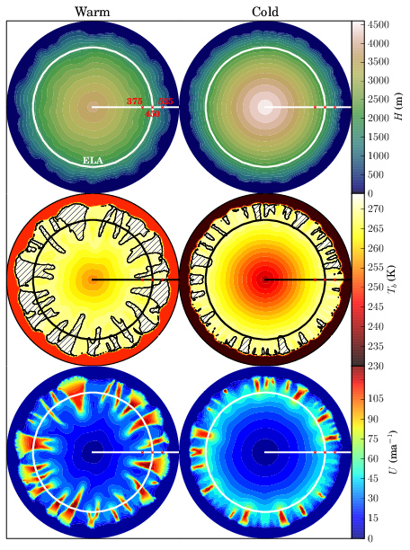
The paper describing these findings is found here. A more comprehensive snapshot of how a radially symmetric, land terminating ice sheet (sort of like the Laurentide!) might look:
The ice streams produce large Piedmont lobes, which would produce moraines similar to those found presently in the upper Midwest.
The specifics of this process are dependent on many factors, such as surface temperatures, snowfall rates, the strength of the bed. Additionally, there is other work that suggests that something similar can happen due to the drainage under the ice sheets. In any case, this topic has spawned a rich literature on this subject, and there’s a great deal more work to be done to understand ice streams.
